Define the AOI
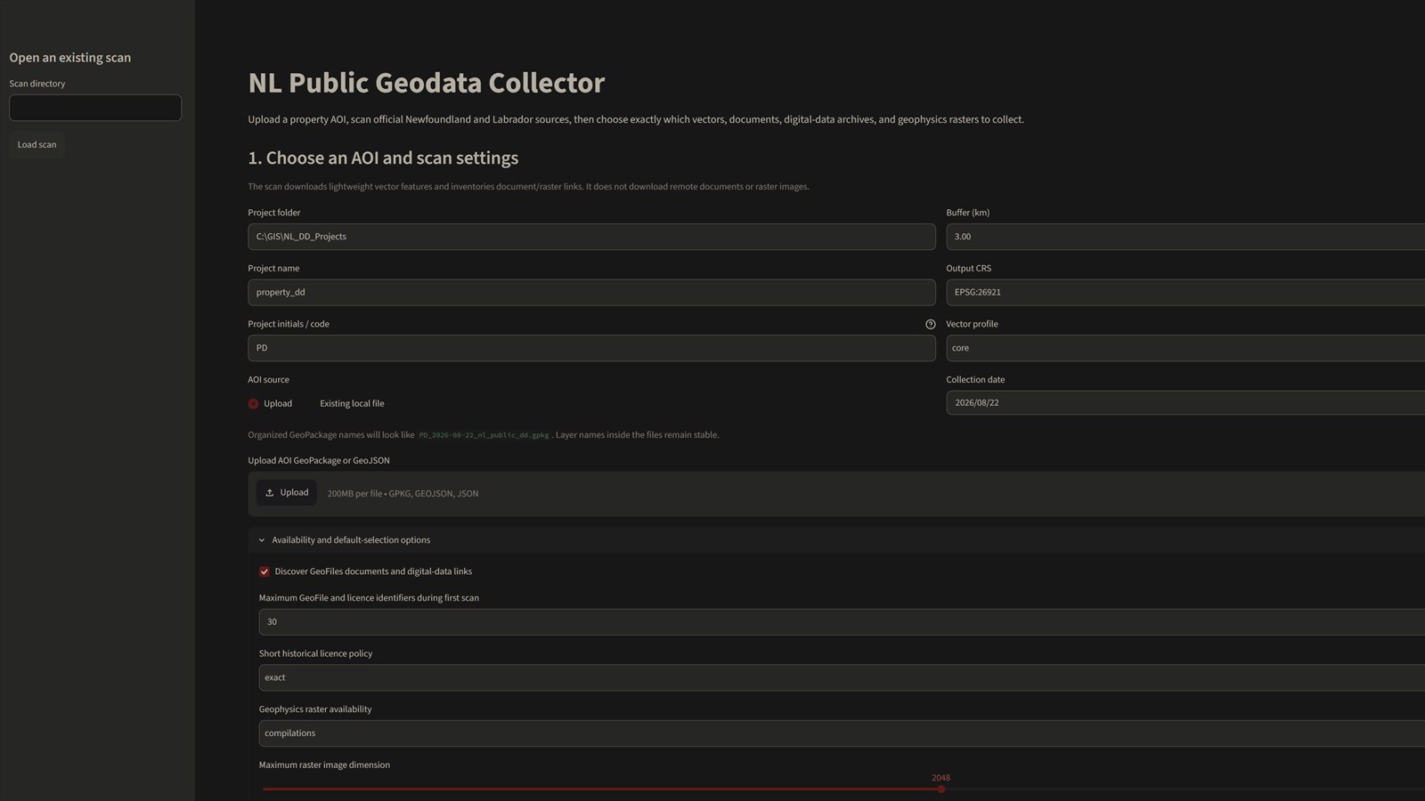
Upload the property boundary, set an appropriate buffer, output coordinate system, and project naming convention.
The NL Public Geodata Collector uses a project boundary to scan official sources, inventory relevant datasets and documents, and prepare a structured package for technical review in QGIS.
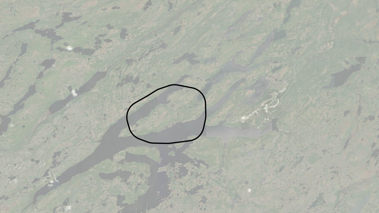
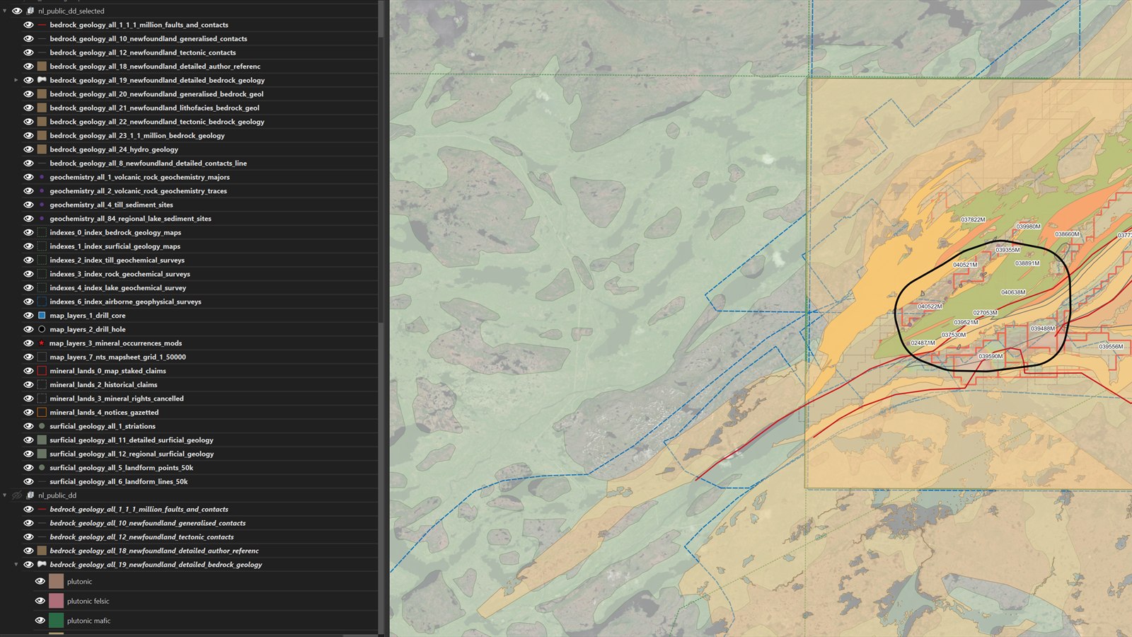
A new exploration project may need bedrock geology, surficial geology, geochemistry, mineral occurrences, claims, map indexes, geophysics, assessment reports, and digital archives before meaningful review can begin.
Those sources often live across different services with different spatial extents, identifiers, formats, and download behaviour. Manual collection is possible, but it is slow to repeat and easy to document inconsistently.
The workflow begins with a GeoPackage or GeoJSON area of interest. It scans selected official Newfoundland and Labrador sources, identifies records intersecting the project area and buffer, and lets the user choose which vectors, documents, archives, and rasters belong in the package.
The output is organized around repeatable names, coordinate reference systems, source metadata, and a QGIS-ready structure. The process keeps the discovery trail visible rather than treating the downloaded files as anonymous inputs.
Upload the property boundary, set an appropriate buffer, output coordinate system, and project naming convention.
Query supported public endpoints and inventory spatial features, documents, digital archives, and geophysics coverage.
Review availability, choose the relevant material, and assemble it into a consistent project package.
Load the organized outputs in QGIS, inspect source coverage, and continue with geological interpretation.
This is a working prototype for official public sources. Availability, licensing terms, schemas, and service endpoints can change, so each project still requires source and output review.
A first conversation can establish whether the right answer is a cleaner workflow, a small script, a lightweight internal tool, or simply a better data structure.